
I’ve just seen an interesting little snippet about Lumps Fort, Southsea online. Apparently although rebuilt extensively in Victorian times, Lumps Fort dates back to the Middle Ages – around the 1500’s – and was an earthworks fort.
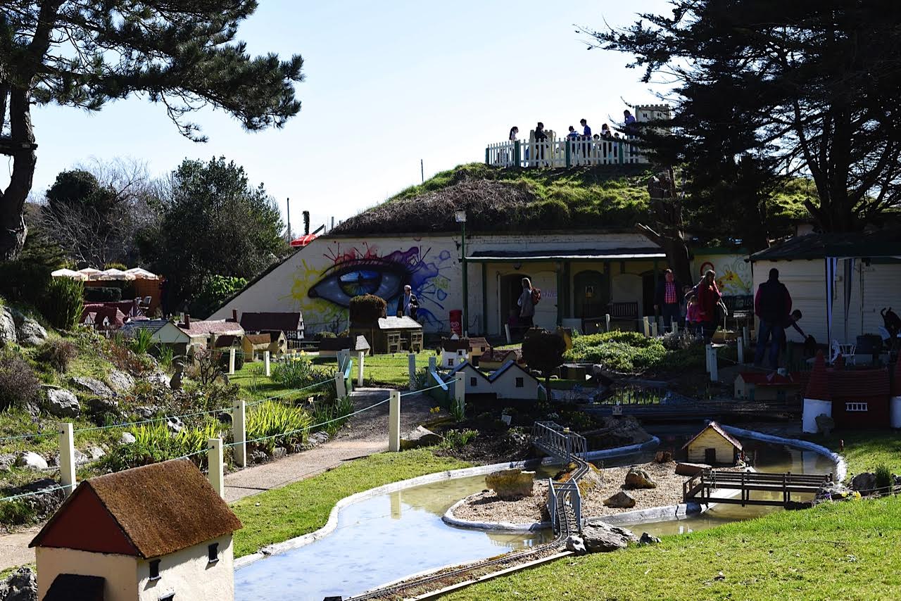
Once you start to look, understanding what you are seeing, the skeletal remains of the fort become more obvious – seen above from the Model Village.

Around the turn of the 20th century to include the Napoleonic Wars, the fort was used as a semaphore relay station – part of a chain that went along to London – allowing messages to get to the capital about any French invasion fleets in just 15 minutes. Quite impressive.

Subsequently, the Admiralty decided to establish a permanent link to Portsmouth around 1820. It was operational from 1822 to 1847 when the railways and electric telegraph provided a better means of communication. This new system followed this route, east of Portsmouth Dockyard:

Admiralty (London) / Chelsea Royal Hospital / Putney Heath / Coombe Warren / Coopers Hill / Chatley Heath / Pewley Hill / Bannicle Hill / Haste Hill (Haslemere) / Holder Hill (Midhurst) / Beacon Hill / Compton Down / Camp Down / Lumps Fort (Southsea) and Portsmouth Dockyard.
Lumps Fort was bought by the council in 1932 and partially dismantled and redesigned as a 1930’s rose garden and a Model Village.
Amazing what you learn about when researching stories on a Model Village and a Rose Garden!
Contributor & Photographer: Sue Lowry
Follow A3Traveller on Twitter: @A3Traveller and Sue Lowry on Google +, YouTube, Linkedin, Flickr and Pinterest. I also operate another blog for my company, Magellan PR – http://www.magellanstraits.com. They can be followed on Twitter: @MagellanPR, on Google+, on YouTube, on Pinterest and on Facebook.

interesting!